| Ref |
Subject |
Description |
Size |
Price |
Image |
| Mx0137 | Sussex | Seller / Grosse. Yorkshire. c1773 West Riding. Original colour. | h 120 x w 147mm | £35 | 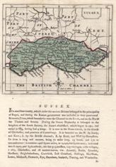 |
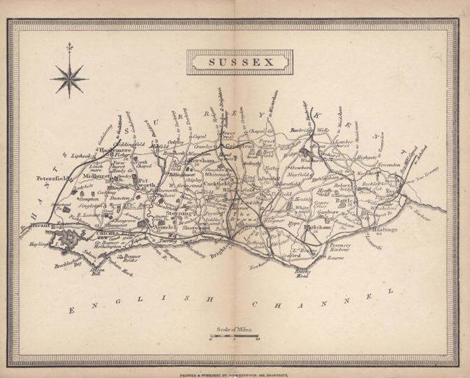
| Mx0122 | Sussex | Heywood, John c1868 Sussex from Heywood's County Atlas of England and Wales | h 150mm x w 195mm | £15 |  |
| Mx0121 | Sussex | Moule, T c1836. These maps appeared in several editions. This edition shows the railways from London to Brighton, and the line along the Sussex coast from Chichester towards Hastings. These maps are considered to be the last decorative county maps to be issued. Includes vginettes of the Chain Pier at Brighton, Chichester cathedral and Arundel Castle. Later hand colouring. | h 205mm x w 260mm | £85 | 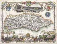 |
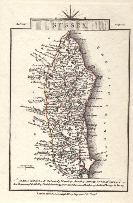
| MX0139 | Sussex | Cary, J. 1819. Sussex. Original hand outline colouring. | h 130mm x w 90mm | £20 | 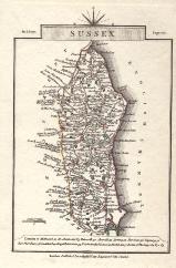 |
| MX0123 | Sussex | Map of Sussex | h 177mm x w 235mm | £35 | 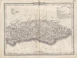 |
| M0267 | Sussex | Speed,John, Sussex described and devided into rapes..., pub. Bassett & Chiswell, c1676, hand coloured map, with inset town plan of Chichester, English text on verso. Mounted. | h 375mm x w 510mm, | £860 | 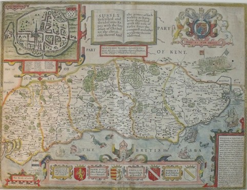 |
| M0175 | Sussex | Bartholemew, J. c1860 London & Brighton & South-Coast Railways. (London to Brighton, Portsmouth & Hastings). Published by A & C Black. Later hand colouring | h 136mm x w 87mm | £20 |  |
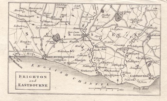
| M0125 | Sussex | Anonymous, c1803 Brighton and Eastbourne. | h 77mm x w 130mm | £10 | 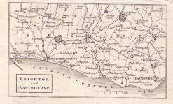 |